
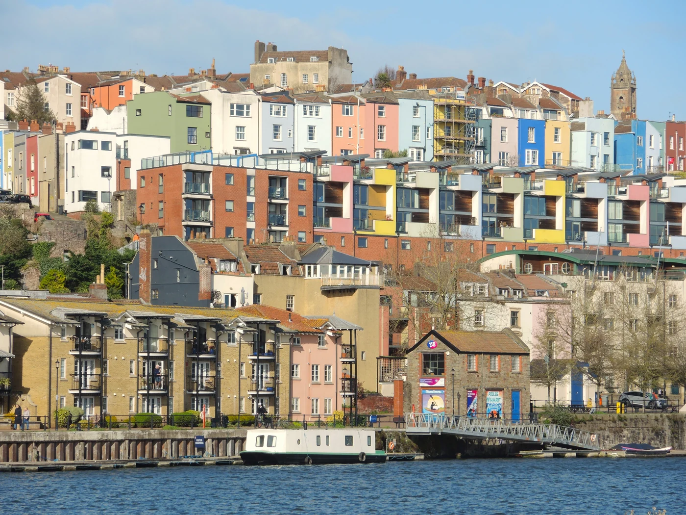
Find your next stop
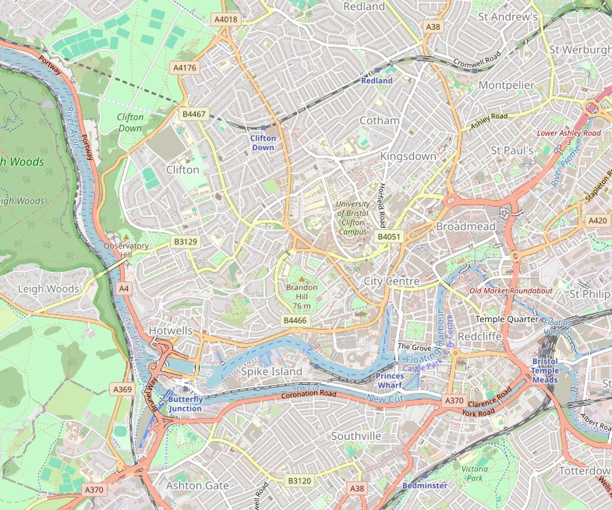
To choose your next visit, filter places by type, free access or indoor attraction. From the list, you can open detailed guides and start directions. A neighbourhood marker indicates an area to explore, however, rather than always an entrance.
- Attractions and landmarks
- Neighbourhoods and walks
- Hotels
- Food and drink
- Transport
© OpenStreetMap contributors
- Hotels
Leonardo Royal Hotel Bristol
Formerly The Bristol, this hotel overlooks the harbour near the Old City.
Read the guide - Hotels
Leonardo Hotel Bristol City
Modern hotel east of the centre, between Cabot Circus and Temple Meads station.
Read the guide - Hotels
Hotel du Vin Bristol Avon Gorge
Clifton hotel with Avon Gorge views, near the suspension bridge.
Read the guide - Hotels
Premier Inn Bristol City Centre (King Street)
Hotel near King Street, convenient for pubs, restaurants and the harbour.
Read the guide - Attractions and landmarks
Arnolfini
Contemporary art centre in a former warehouse beside the harbour.
Read the guide - Food and drink
St Nicholas Market
Old City covered market, with stalls and food counters for lunch.
Read the guide - Neighbourhoods and walks
Stokes Croft · The Mild Mild West
Street art area in Stokes Croft, around The Mild Mild West mural.
Read the guide - Neighbourhoods and walks
Nelson Street
City centre street known for large murals painted on its façades.
Read the guide - Neighbourhoods and walks
Start of Gloucester Road
Street of independent shops, cafés and small places to eat.
Read the guide - Attractions and landmarks
Bristol Museum & Art Gallery
Council museum combining painting, archaeology and natural history.
Read the guide - Attractions and landmarks
M Shed
Museum of Bristol’s history in a former harbour shed lined with cranes.
Read the guide - Attractions and landmarks
SS Great Britain
Brunel’s ocean liner to explore, from cabins to the hull in its dry dock.
Read the guide - Neighbourhoods and walks
North Street · Southville
Southville shopping street dotted with cafés and street art murals.
Read the guide - Transport
Bath Spa
Bath’s main station, the starting point for the historic centre route.
Read the guide - Attractions and landmarks
Roman Baths
Roman baths preserved around a large pool, with a site museum.
Read the guide - Attractions and landmarks
Bath Abbey
Gothic abbey in the heart of Bath, beside the Roman Baths.
Read the guide - Attractions and landmarks
Pulteney Bridge
18th-century bridge lined with shops over the Avon in Bath.
Read the guide - Neighbourhoods and walks
The Circus
Circular Bath square surrounded by golden-stone Georgian façades.
Read the guide - Attractions and landmarks
Royal Crescent — façades
A curving Georgian terrace known for its grand stone façades.
Read the guide - Neighbourhoods and walks
Clifton Village
Neighbourhood of Georgian façades, with cafés and shops near the bridge.
Read the guide - Attractions and landmarks
Clifton Suspension Bridge
Landmark suspension bridge over the Avon Gorge, which you can cross on foot.
Read the guide - Neighbourhoods and walks
King Street
Historic street of pubs and theatre, a short walk from the harbourside.
Read the guide - Neighbourhoods and walks
Queen Square
Large tree-lined Georgian square between the Old City and the quays.
Read the guide - Neighbourhoods and walks
Prince Street Bridge
The crossing between Queen Square and the M Shed side, for reaching the quays on foot.
Read the guide - Food and drink
Wapping Wharf
Small restaurant and café quarter, particularly in Cargo’s containers.
Read the guide - Attractions and landmarks
Bristol Cathedral
Gothic cathedral facing College Green, to visit outside services.
Read the guide - Neighbourhoods and walks
Brandon Hill and Cabot Tower
Hillside park with Bristol views. Cabot Tower is temporarily closed.
Read the guide - Neighbourhoods and walks
Christmas Steps
Stepped lane lined with shops, antique dealers and small façades.
Read the guide - Hotels
Clayton Hotel Bristol City
Old City hotel in a historic building, near Broad Street.
Read the guide - Hotels
ibis Bristol Centre
Simple hotel near Millennium Square, convenient for attractions and the harbourside.
Read the guide - Attractions and landmarks
We The Curious
Interactive science centre with hands-on experiments and a planetarium.
Read the guide
Follow a route
To link stops in a logical order, the one-day, two-day and three-day itineraries have numbered maps. The Banksy and street art guide distinguishes visible artworks from those removed or moved.
Understanding the markers
The map shows central Bristol. If a distant place such as Aerospace or an excursion is not visible, look in the list: it appears there even outside the map frame. The guides explain how to get there and the travel time to allow.
Walking routes are calculated using real map data. Walking times remain estimates, excluding visits, breaks and hills. Temporary closures or works may change the passage.